Biking Bonanza: Central Ohio hopes to roll out new trail systems

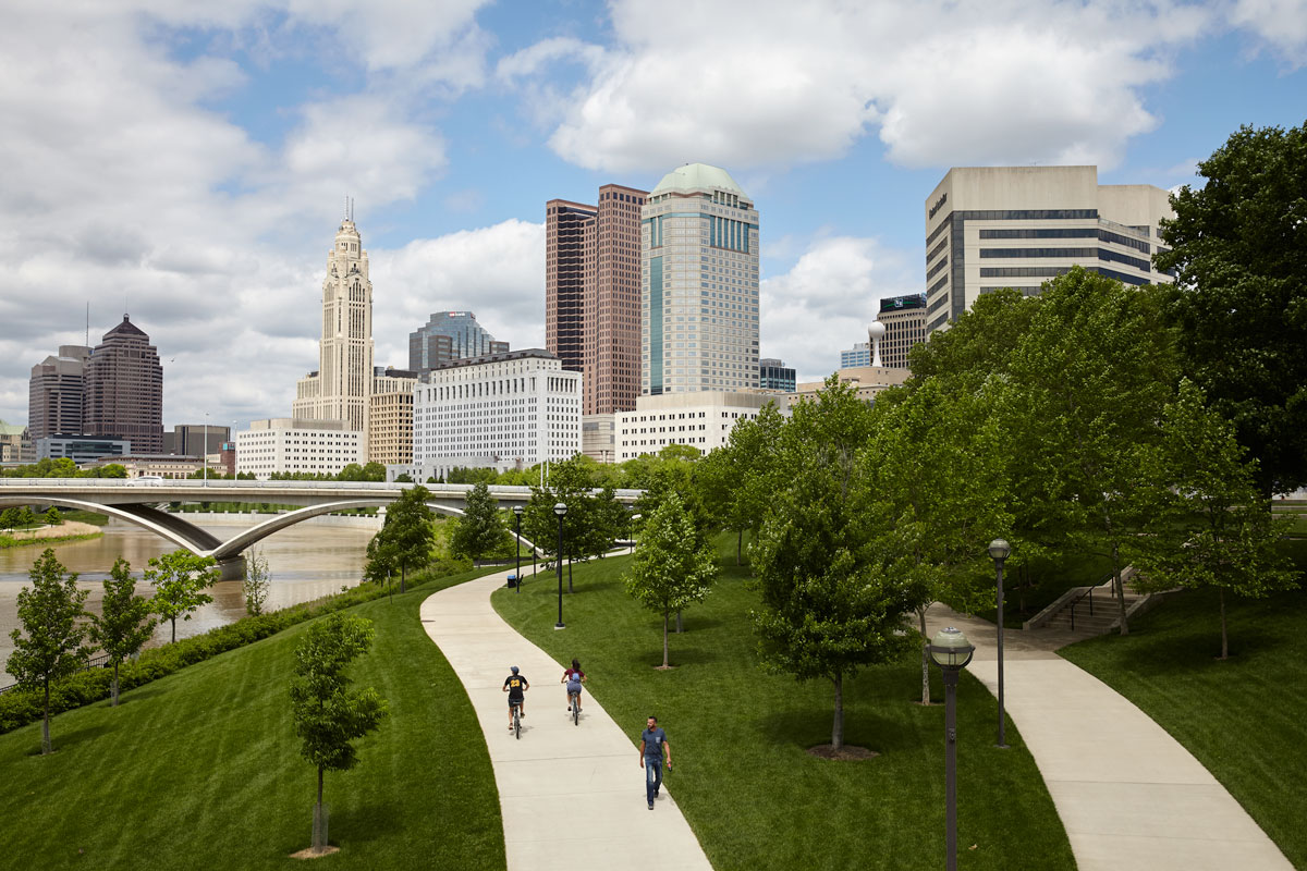
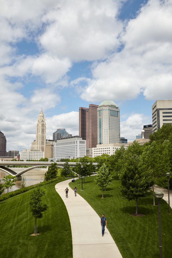
Biking the Olentangy Trail is a favorite for outdoor enthusiasts around Central Ohio, especially when the leaves turn lush and green and the sunshine warms the surrounding parks. Beyond that, though, the trail connecting Worthington to Clintonville to Ohio State is a vital pathway for folks looking for alternative commuting options for their daily treks downtown.
A few miles to the east runs the Alum Creek Trail, connecting Westerville, Easton and Bexley. The two trails run parallel to one another, but the Mid Ohio Regional Planning Commission (MORPC) and Central Ohio Greenways (COG) hope that in a few years, the two will become connected through an additional path.
The change would be part of an effort to expand Central Ohio’s trail system, adding 500 new miles of pathways to the over 230 that already exist throughout Franklin County and the surrounding seven counties.

The vision was developed by COG, a collaborative group including local governments and private and nonprofit partners that wanted to create a cohesive trail system, says COG coordinator Melinda Vonstein.
“What’s really exciting is that these new trail connections will fill in gaps in our trail corridors that largely run along river corridors, and they’ll also connect neighborhoods to jobs,” Vonstein said.
Vonstein says the number of miles traveled along the Central Ohio trail system has increased every year since 2014, reaching 11.5 million miles in 2017. On top of that, the region is growing in population, and congestion in the city is getting worse.
The combination of these factors, Vonstein says, will increase the demand for a more accessible trail system, and one of the existing limitations the expansion is hoping to address is the lack of east to west trails.
“Initially about 10 years ago, trails started to be built in our region as an effort to protect our waterways, so many of the trails that exist run along our north valley corridors,” Vonstein said. “What we’re trying to do is create some connections, some east-west connections, to create a truly interconnected network of trails.”
Within the city, these proposed connections include paths connecting the Olentangy to the Scioto Trail along 161 and through the OSU campus. But the expansion would move outward, too, connecting Lancaster, Johnstown, Delaware, Marysville, and Circleville.
BROUGHT TO YOU BY
Vonstein says the trails throughout Central Ohio are meant to provide a safe, low-stress transportation option for people ages eight to 80. She’s most excited about connecting historically underserved people in this regard with access to trails, and she says the COG is working with other groups “to create a transportation system that works from neighborhood to town centers.”
Aside from providing more accessible transportation, however, the expanded trails will also give folks using the paths a chance to experience a wider range of the area’s urban, suburban, and natural environments.
“We really see these trails as linear parks that are a way to not only connect people to mobility options, but also as a way to connect with nature,” Vonstein said. “We’re really excited that this trail vision allows us to connect to a lot of natural places and gives us the opportunity to just experience the nature and really amazing spaces that Central Ohio has on a more human scale outside of the car.”
The vision to add 500 miles of trails is ambitious, though, and will likely carry a hefty price tag. Vonstein says the project is expected to cost at least $250 million, and the timeline for development is dependent on finding funding sources. Still, she says a study COG funded last year indicated regional leaders see access to trails as a driver for economic development, better health outcomes, and improved quality of life.

The group’s next steps will be to conduct another study this year focused on how trail use supports economic development, social equity and the environment, which Vonstein hopes will help with grant funding.
“We, our community leaders, and our trail advocates in Central Ohio really see the value of trails, so we know that there is an opportunity to find some funding to accelerate the pace of this development,” Vonstein said of the vision.
The new trails may still be a few years out, but it’s never too late to start exploring the existing paths. COG is also working with Yay Bikes!, a local bike advocacy group, to help educate people on safe bicycling habits both on and off pathways. Maybe one day, folks will be able to take what they’ve learned and hop not just from Clintonville to Grandview, but also from the Hilltop to Whitehall. •
BROUGHT TO YOU BY


